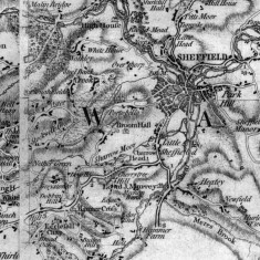
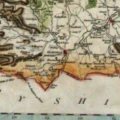
The Broomhall area has appeared on maps of Sheffield and the surrounding area since the beginning of the 17th century and possibly even earlier. To begin with this referred to the manorial building ‘Broom Hall’ itself rather than to the neighbourhood as it did later.
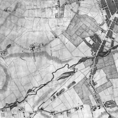
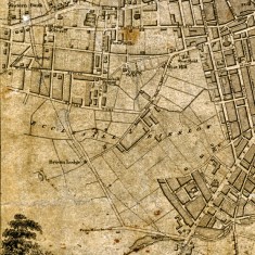
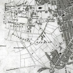
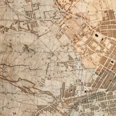
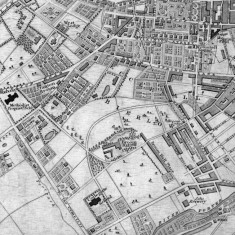
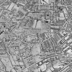
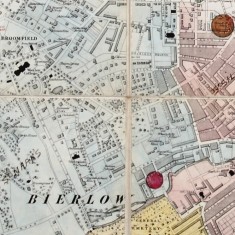
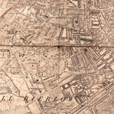
Looking through these maps chronologically it is clear how the Broomhall area became gradually developed with housing during the 19th Century.
These and other scanned maps of Sheffield and Yorkshire can be explored in the Historical Maps section of the PictureSheffield website.
The map images here are reproduced courtesy of Sheffield Archives and Local Studies Library (SALS).
NB: once you have clicked on a photo in a gallery to view it full-size, you can explore the rest of the gallery using the arrow keys on your keyboard and at the bottom of the photos.
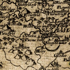
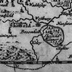
1607 West Riding of Yorkshire Map by Christopher Saxton and William Hole
Map: SALS
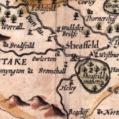
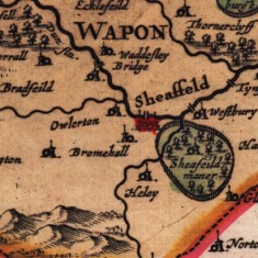
1610 West Riding of Yorkshire Map by John Speede
Map: SALS
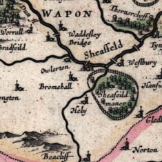
1645 West Riding of Yorkshire Map by W and J Blaeu
Map: SALS
1673 West Riding of Yorkshire Map with its Wapentakes by Richard Blome
Map: SALS
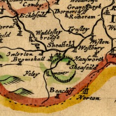
1695 West Riding of Yorkshire Map by Robert Morden
Map: SALS
1724 West Riding of Yorkshire Map by Gerard Valk and Petrus Schenk
Map: SALS
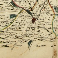
1750 West Riding Yorkshire (southern part) by Joseph Dickinson
Map: SALS
1771 Sheffield Map by William Fairbank
Map: SALS
1771 Yorkshire Map by Thomas Jefferys
Map: SALS
1789 West Riding of Yorkshire (sothern part) by John Carey
Map: SALS
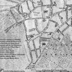
1808 Sheffield Map by W and J Fairbank
Map: SALS
1822 Sheffield Map published by Edward Baines Showing Broomhall Lane in middle
Map: SALS
1823 Sheffield Map by John Leather
Map: SALS
1832 Sheffield Map by J Tayler
Map: SALS
1838 Sheffield Map published with White's History and Directory of Yorkshire
Map: SALS
1863 Sheffield Map based on the 1850 Ordnance Survey, with revisions to 1863
Map: SALS
1864 Map of Sheffield
Map: SALS
1873 Sheffield Map based on the 1850 Ordnance Survey, with revisions to 1873
Map: SALS
This page was added by Richard Freeston on 27/02/2014.





No Comments
Add a comment about this page